Atlas of Nations · Edition 2026
Every country on Earth, one click away.
MapVista is an editorial-grade geographic reference covering 250 sovereign nations and territories. Capitals, flags, borders, currencies, languages, populations and live maps — server-rendered for fast, distraction-free reading.
Continental Atlas
Browse by continent
Each continental hub lists every country in the region, breaks it into UN subregions, and links straight to the in-depth country profile.
-
Africa
Africa is the world's second-largest continent, home to 54 sovereign nations spread across roughly 30.3 million square kilometres. From the Sahara's dune seas in the north to the Cape's wine country i…
Explore Africa -
Americas
The Americas stretch nearly 14,000 kilometres from the Arctic Archipelago of northern Canada to the windswept islands of Tierra del Fuego. The continent splits naturally into North America, Central Am…
Explore Americas -
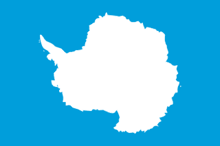
Antarctic
The Antarctic region is governed by the Antarctic Treaty System and is dedicated to peaceful scientific research. While there are no permanent sovereign states on the continent, several nearby territo…
Explore Antarctic -
Asia
Asia is the largest continent on Earth, covering roughly 30 percent of the planet's land area and hosting more than half of humanity. Its political map ranges from tiny island states in the Pacific to…
Explore Asia -
Europe
Europe is geographically the second-smallest continent but has long played an outsized role in global politics, science, and culture. From the fjords of Norway to the Greek archipelago, Europe is a mo…
Explore Europe -
Oceania
Oceania is a vast oceanic region of the southern Pacific made up of Australasia, Melanesia, Micronesia, and Polynesia. It includes the continental landmass of Australia, the long mountainous islands o…
Explore Oceania


Country Spotlight · Updated daily
Featured profile: France

France
France is a mid-sized country, covering approximately 543,908 km² of land in Europe (specifically the Western Europe subregion). The country has coastline along international waters, which has shaped its trade routes, climate, and cultural exchanges with the rest of the world. Its approximate geographic centre lies at …
Quick comparisons
The world's largest, most populous, and smallest
Three at-a-glance leaderboards drawn from the same dataset. Browse the full statistics hub for sortable rankings of every country on Earth.

Featured profiles
A sample from the catalogue
A small selection from across the continents. Use the A–Z index for everything else.
-
Japan
Pop. 123,210,000
Area 377,930 km² -

Brazil
Pop. 213,421,037
Area 8,515,767 km² -
France
Pop. 66,351,959
Area 543,908 km² -
South Africa
Pop. 63,100,945
Area 1,221,037 km² -

Australia
Pop. 27,536,874
Area 7,692,024 km² -
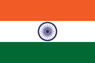
India
Pop. 1,417,492,000
Area 3,287,263 km² -

Germany
Pop. 83,491,249
Area 357,114 km² -

Canada
Pop. 41,651,653
Area 9,984,670 km² -
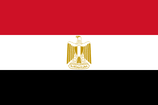
Egypt
Pop. 107,271,260
Area 1,002,450 km² -
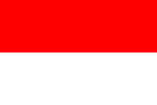
Indonesia
Pop. 284,438,782
Area 1,904,569 km² -
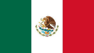
Mexico
Pop. 130,575,786
Area 1,964,375 km² -
Norway
Pop. 5,606,944
Area 386,224 km²
What's inside
A complete profile for every nation
Capital, region, subregion
Official capital, UN region, and subregion classification with one-click jump back to the regional index.
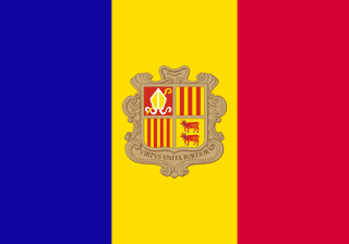
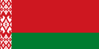
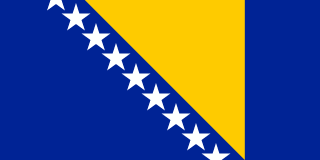
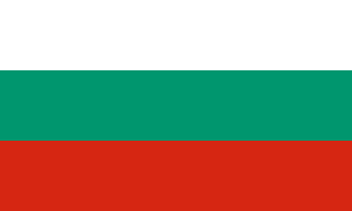
Flags & borders
Vector and raster flags plus a complete list of bordering states, each one linked to its full profile.
People & culture
Population, languages, currencies and demonyms drawn from open sources, with context paragraphs explaining the scale.
Practical info
Time zones, top-level domains, driving side, and UN membership — the small details travellers and researchers actually need.
Embedded maps
Live OpenStreetMap viewport on every country page plus deep links into Google Maps for route planning.
Cross-country stats
Sortable rankings for area, population, density, plus dedicated lists for island, landlocked, and microstate categories.
Built for browsing, not for dashboards
MapVista is a classic, server-rendered website. Every link returns a full HTML page that loads in milliseconds and is easy to bookmark, share, print, or scrape responsibly. No login, no paywall, no JavaScript framework required to read the words on this screen.
The data is refreshed from open sources (see our methodology) and the same dataset powers every page — so what you see in a continent index always matches the underlying country profile.
Why we built it
The web's best country references are buried in encyclopaedias, behind paywalls, or stranded in spreadsheets. MapVista pulls the open data forward and presents it as a single, readable atlas — the place to send anyone who needs to know the capital, the currency, the bordering states and the population of a country, without wading through six tabs and three sign-up screens.
- Server-rendered HTML — works without JavaScript
- Open data, open formats, no tracking on country pages
- Linked, browsable, bookmarkable — built for the open web