Continental atlas
Continents & world regions
The world's countries grouped by the United Nations geoscheme. Each entry shows the number of nations covered, cumulative population and area, and a one-paragraph orientation written for travellers, students, and the merely curious.
-
Africa
Africa is the world's second-largest continent, home to 54 sovereign nations spread across roughly 30.3 million square kilometres. From the Sahara's dune seas in the north to the Cape's wine country in the south, the continent encompasses tropical rainforests, savannahs, highlands, and rift valleys. Its political map was redrawn dramatically in the twentieth century as colonial rule gave way to independence movements, and today African states range from city-state-sized Comoros to the vast expanse of Algeria. Population growth, urbanisation, and natural-resource wealth make Africa one of the most consequential regions for the twenty-first century.
Explore Africa -
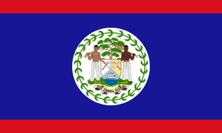
Americas
The Americas stretch nearly 14,000 kilometres from the Arctic Archipelago of northern Canada to the windswept islands of Tierra del Fuego. The continent splits naturally into North America, Central America, the Caribbean, and South America, and its political geography was shaped by waves of indigenous civilisation, European colonisation, slavery, and revolutionary independence. Today the Americas host 35 sovereign states, three sprawling federations, and dozens of distinctive sub-national regions, with terrain ranging from boreal taiga to high Andes, Amazon basin, and Patagonian steppe.
Explore Americas -
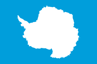
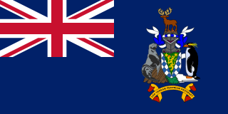
Antarctic
The Antarctic region is governed by the Antarctic Treaty System and is dedicated to peaceful scientific research. While there are no permanent sovereign states on the continent, several nearby territories administered by other countries are categorised under this region. The continent itself is the coldest, driest, and windiest place on Earth, holding around 70 percent of the world's fresh water in its ice sheets.
Explore Antarctic -
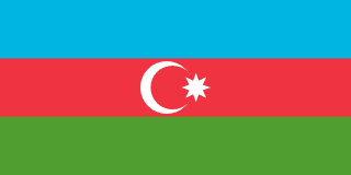
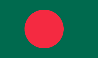
Asia
Asia is the largest continent on Earth, covering roughly 30 percent of the planet's land area and hosting more than half of humanity. Its political map ranges from tiny island states in the Pacific to the immense territories of Russia, China, and India. Asia contains every major climate zone, the world's highest mountain (Everest) and lowest dry land (the Dead Sea shore), and the largest concentration of megacities anywhere on the planet. Its diversity of languages, religions, and political systems is unmatched.
Explore Asia -
Europe
Europe is geographically the second-smallest continent but has long played an outsized role in global politics, science, and culture. From the fjords of Norway to the Greek archipelago, Europe is a mosaic of more than forty sovereign states, most of them small enough to cross by car in a day. The continent's political integration through the European Union, the Council of Europe, and other institutions sits alongside enduring national identities, regional languages, and complex post-imperial relationships with the rest of the world.
Explore Europe -
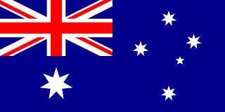
Oceania
Oceania is a vast oceanic region of the southern Pacific made up of Australasia, Melanesia, Micronesia, and Polynesia. It includes the continental landmass of Australia, the long mountainous islands of New Zealand and Papua New Guinea, and thousands of smaller islands scattered across millions of square kilometres of ocean. Many of its sovereign nations are among the smallest on Earth, while their exclusive economic zones make them custodians of some of the planet's most important marine ecosystems.
Explore Oceania


How regions are defined
MapVista uses the regional classifications published in the country dataset itself, which mirror the United Nations geoscheme. The region level groups countries into broad continental areas — Africa, Americas, Asia, Europe and Oceania — while the subregion level provides finer detail such as Southern Europe, Southeast Asia, or Sub-Saharan Africa.
This is one of several reasonable ways to slice the world map. Some sources count six or seven continents, others split the Americas in two; political organisations like the African Union, ASEAN or the European Union define their own membership. We prefer the UN scheme for browsing because it produces consistent country counts and matches the most widely used statistical sources.
If a country surprises you with the region it appears under — for example, why Kazakhstan is sometimes filed under Asia and sometimes Europe — open the country profile and look at the subregion field for the more granular answer.
Recommended reading