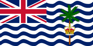
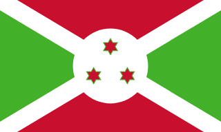
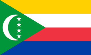
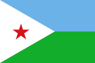
Subregion · part of Africa
Eastern Africa
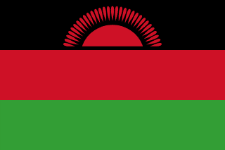
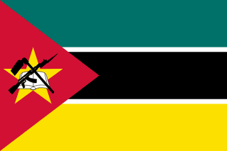
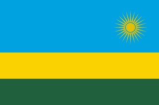
Country-by-country guide to Eastern Africa: capitals, flags, borders, area, and population for every nation in this UN subregion of Africa.
19 countries
439,557,603 people
5,973,175 km² total land area
Eastern Africa runs along the Indian Ocean from the Horn down to Mozambique and the islands of the Indian Ocean. The Great Rift Valley defines much of its terrain, and the subregion includes both the source of the Nile and the savannahs of the Serengeti.
Use this page as an entry point into the subregion. Skim the table below for an at-a-glance comparison, then click any country to read the full editorial profile — capital, flag, official languages, currencies, bordering states, an embedded OpenStreetMap viewport, and links to high-resolution map services.
| — | |
| 12,332,788 | |
| 919,901 | |
| 1,066,809 | |
| 3,607,000 | |
| 111,652,998 | |
| 53,330,978 | |
| 31,727,042 | |
| 20,734,262 | |
| 1,243,741 | |
| 320,901 | |
| 34,090,466 | |
| 14,104,969 | |
| 896,175 | |
| 122,729 | |
| 19,655,000 | |
| 68,153,004 | |
| 45,905,417 | |
| 19,693,423 |